 |
|
 |
|||||
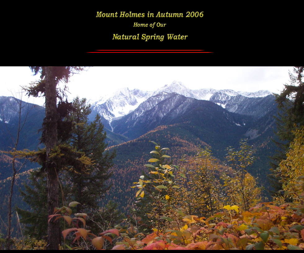
Mount Holmes, at 2486.50 meters (8158 feet), is the highest snow covered peak in the picture; it includes several other slightly lower peaks in its vicinity. The total surface area is over 160 square kilometers (100 square miles). It is very rugged and steep terrain, very typical for our West Kootenay Region. These natural characteristics and remoteness have left it a pristine wilderness area, an ideal location for a Natural Spring. Since the Natural Springs run all year long the water reservoir must be immensely large underground caves or lakes that act as a cistern where the water is collected percolating through crevices and eventually resurfaces through channels to above ground. These cisterns can be located also well below the level of the actual elevation of the Spring, being forced back up through underground pressure. This journey of the water can take anywhere from several years or up to fifty and more years. The natural mineralogy of the rock it passes through, dictates its characteristic mineral content. That is why it is important to have a proper ‘Water Analysis’ done by a reputable laboratory to ensure the quality of the water. Water is at its densest form at 4° Celsius (35.20° Fahrenheit), not at 0° (32.0° Fahrenheit) as assumed, since when water freezes it already expands again, (one of water wonderful anomalies). The water at our springs ranges from 6.9° to 7.2° Celsius ( 44.42° to 44.96° Fahrenheit), which substantiates that the water comes from deep within the mountain and that these are True Natural Springs.
|
|||||
|
|
||||
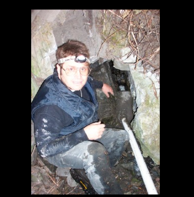
Our discovery of these two springs dates back to 2005, where a local hiking trip revealed to us this secret place of these Natural Springs. The springs and their subsequent brook down the mountainside were not plotted on any topographical map of the government, which made it an even more challenging endeavor for registering and getting permits. This required a visual on site inspection by the appropriate government official, (Water Licensing Authority). Once everything was in order application was filed and we now have legal rights to this water commercial usage. Once it was determined to be True Springs the subsequent laboratory tests revealed its purity and Crystal Clear attributes making it a phenomenal find and an excellent source of water for our breads. It was a befitting addition of using this Natural Spring Water in combination with our Natural Sourdough Technology - Freshly Ground Flour - and with our new line of all Organic Ingredients breads. Once our passion for this truly worthwhile endeavor was kindled to its fullest the actual engineering problems where analyzed and a book on Water Gravity System revealed the full scope of the project.
|
|||||
|
|||||
|
|||||
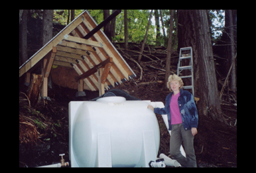
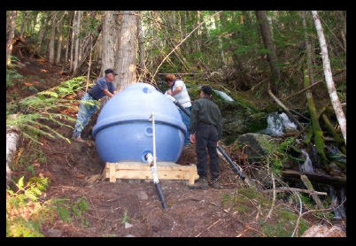
A ‘Water Break Tank’ needed to be installed 2/3 down the mountainside to reduce pressure build up. This allows the water pressure to be dissipated into the atmosphere. With a vertical drop of 700 feet the pressure would be over 300 psi (pounds per square inch). Our water line could only handle up to 100 psi. In comparison, municipal household pressure is 40 psi. |
|||||
All rights Reserved
